

More on the Honmaru tenshu base facing Palaceside.
The base Maeda Tsunanori built in 1658 after the 1657 Meireki fire—compared to people in the top photo, roughly 10+ meters. Online sources disagree.
Chiyoda Tourism Association lists "~41 m E-W, ~45 m N-S, height 11 m"—same as our Dec 9 blog,
but "Tokyo Walk / Tokyo Stroll" cites a Chiyoda Board of Education map saying "18 m"—
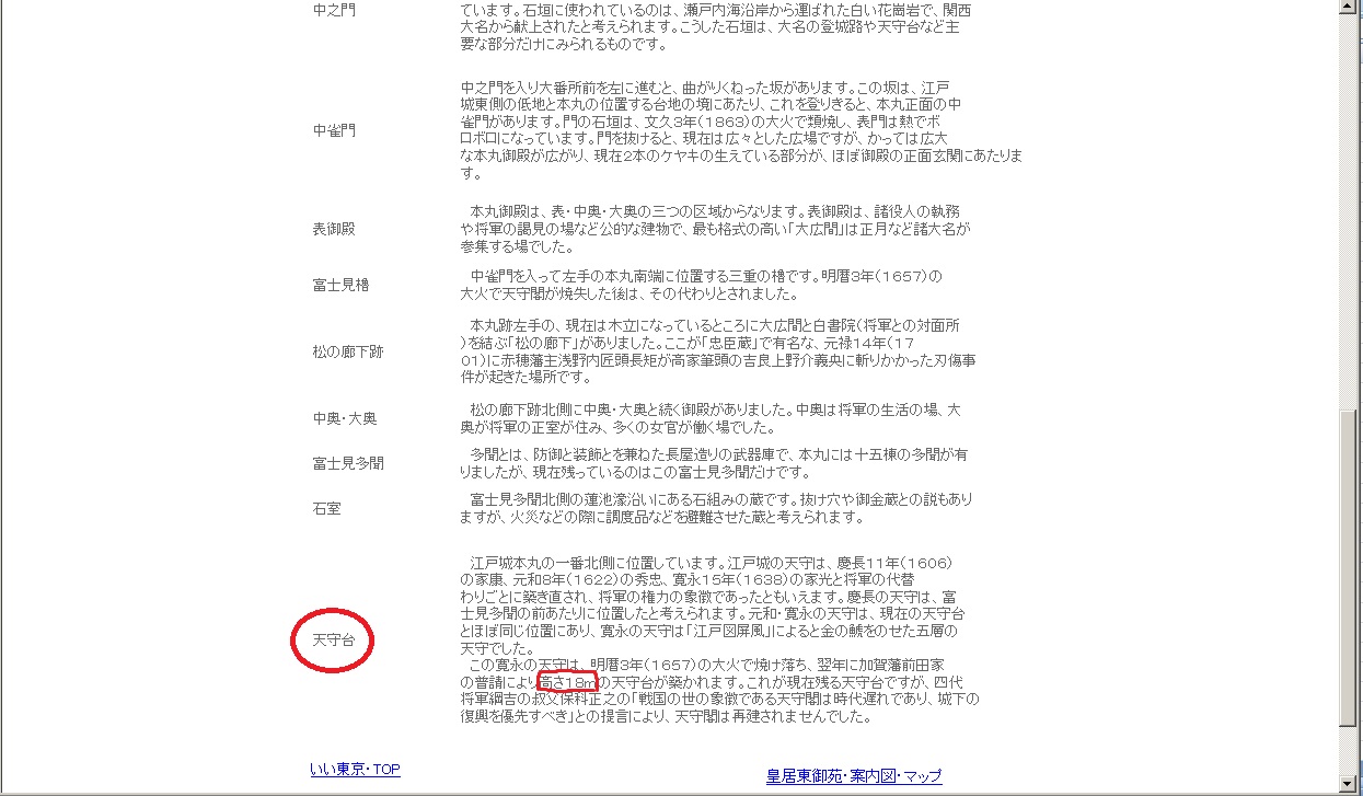
we asked the board.
"The HP author reposted the Cultural Properties Map; the board is not directly involved. The 18 m in the map text follows literature citing the pre-fire base at ~13.8 m."
So 11.8 m is correct. The pre-fire base was ~13.8 m—rebuilt slightly lower.
Also found Chiyoda "Scenic District Guide Plan" (July 2002)—
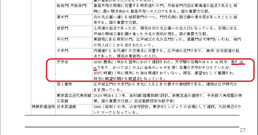
ignoring 18 m, why 11 m vs 11.8 m?
Edo used shaku; the base was "6 ken." 1 ken = 1.82 m → 10.92 m, rounded to 11 m.
But ken varied by region—Kyoto ken is 6 shaku 3 sun; 1.82×1.05 = 1.911 m × 6 = 11.466 m… Kyoto ken changed over time, yielding ~11.8 m.
Anyway, blindly quoting Facebook shares can spread errors—students copy-paste without checking.
Search is daily life, but verify primary sources and cross-check. Even government sites err.