

On the 7th this blog wrote that the upper residences of the Tokugawa gosanke, including Kii — the slope’s namesake as you climb from Takebashi toward Daikancho — burned in the Great Meireki Fire (1657) and moved. Recap: Owari went to Ichigaya (now the Ministry of Defense), Mito to Koishikawa (now Koishikawa Korakuen), Kii to Akasaka.
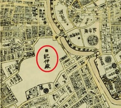
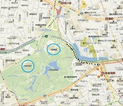
Now Akasaka. Compare a late-Edo map (the 1829 “Bunken Edo oezu”) (photo at upper left) with today (photo at upper right). On the left of the Edo map, large letters say “Kii-dono” (circled in red). The slope climbing Sotobori-dori east of it is Kiinokuni-zaka (the black dotted line on the present map). In the Meiji era the Kii residence became Akasaka Detached Palace; today the south is the Akasaka Estate with the Togu Palace, the north the State Guest House
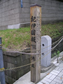
(blue circle on the present map). The top photo is Kiinokuni-zaka; the old Kii residence is on the left of the road.
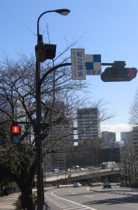
The roadside sign (photo at left) says “Kiinokuni-zaka,” but the three-way crossing at the top is somehow “Kinokuni-zaka” (photo at lower left).
As for the name, the sign at Takebashi’s Kiinokuni-zaka quotes the Edo gazetteer “Saiko Edo Sunago” (c. 1772): after describing the Takebashi
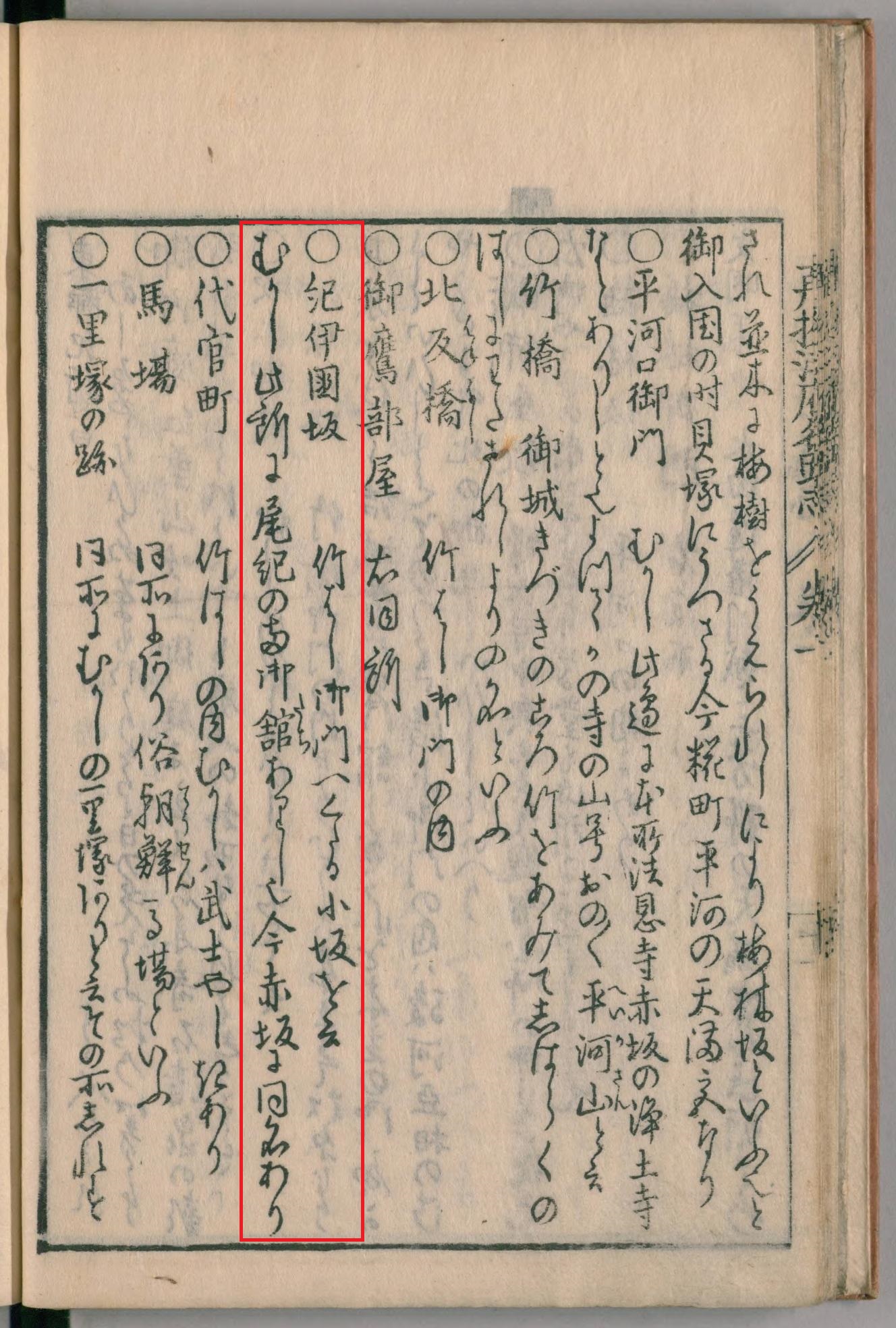
slope it adds “there is a slope of the same name in Akasaka”
(photo at right). So Edo already had two Kiinokuni-zakas.
This vast Akasaka Kii site was granted by the bakufu in 1632 (Kanei 9), unrelated to the Meireki move. Two Kiinokuni-zakas existed from early Edo.
Akasaka has yet another Kii residence. That story another day.