
A twenty-minute wander from Palaceside Building to Ochanomizu feels surprisingly close. You go through Jimbocho, Surugadai-shita or Ogawamachi, but the area around JR Ochanomizu Station is the high ground once called Gunkan-yama, where the Mitsubishi zaibatsu Iwasaki family’s mansion stood,
so you always have to climb — a little tough… An area of many slopes.
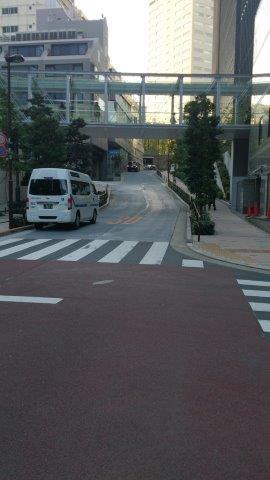
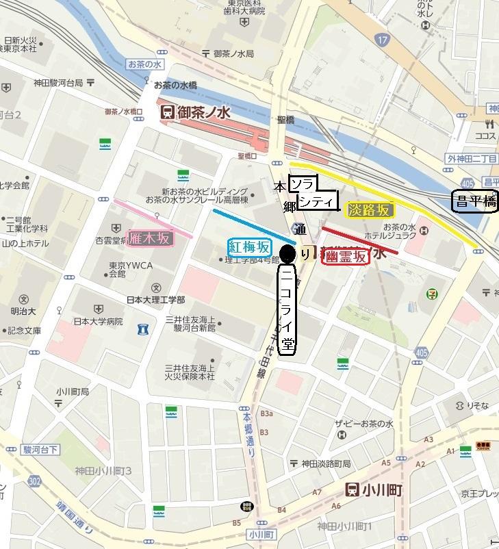
Walking just south of the high-rise Sola City (former Hitachi HQ) in front of the station, I saw a sign for “Yureizaka” (photo above). The slope from below is the photo at right. On the map at right, below, red is Yureizaka; the address is Kanda Awaji-cho 2-chome, Chiyoda Ward.
According to the Chiyoda Ward sign (set in 1980), it once continued as Kobai-zaka (blue on the map) but was split when Hongo-dori was cut in the 1924 (Taisho 13) land readjustment. Ganki-zaka, introduced in this blog on October 5, 2015 (pink on the map), is also nearby. The slope along the tracks (yellow) is Awaji-zaka.
Kobai-zaka runs west from Nikolai-do, and there is a sign here too (photo at left, below). Its text says: “This area was called Kobai-cho, hence the name. … The Tokyo Meisho Zue records, ‘There is a slope descending from mid-Higashi-Kobai-cho to Awaji-cho 2-chome; formerly called Hokori-zaka, after the Restoration it was
renamed Kobai-zaka together with Yureizaka of Awaji-cho.’” Back to the Yureizaka text: “The Tokyo Meisho Zue says Kobai-zaka was ‘in former times so gloomy with trees that even by day it was desolate, and was popularly called Yureizaka; now it is renamed Kobai-zaka.’ It also seems to have been called Koganji-zaka or Hokori-zaka, but in general it goes by
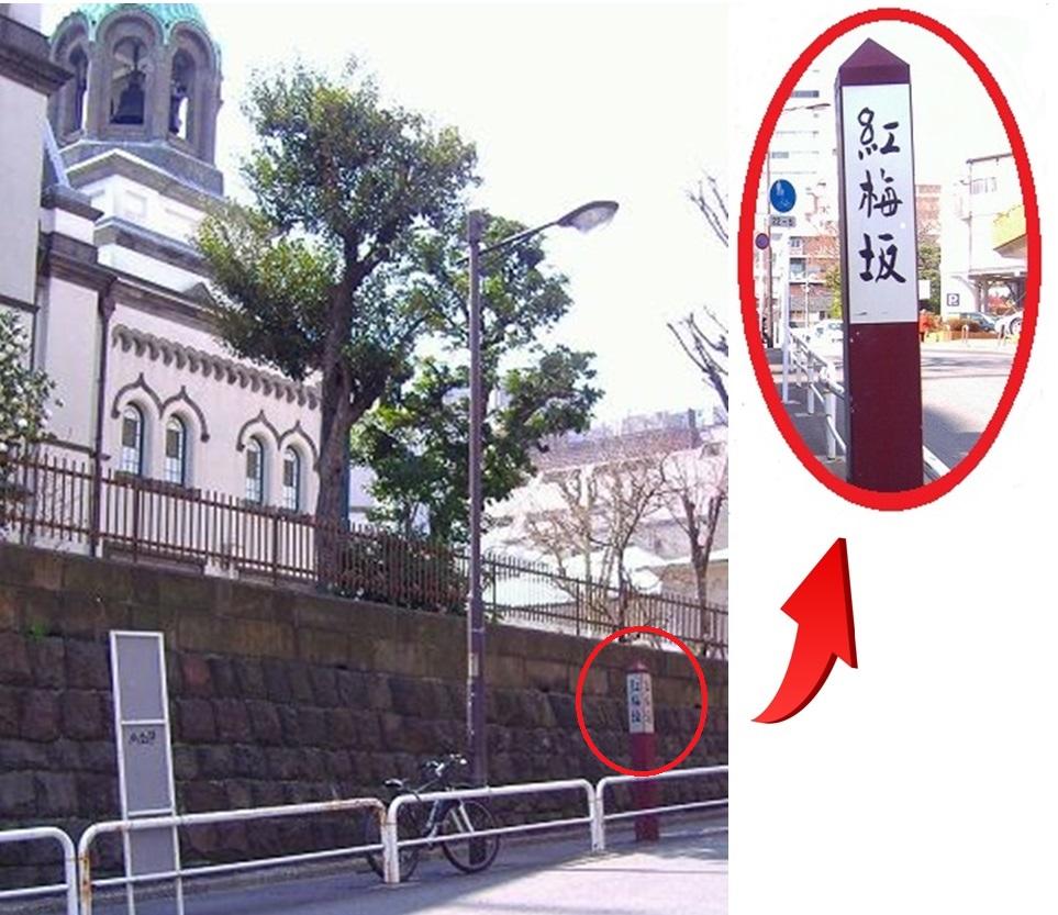
Yureizaka.”
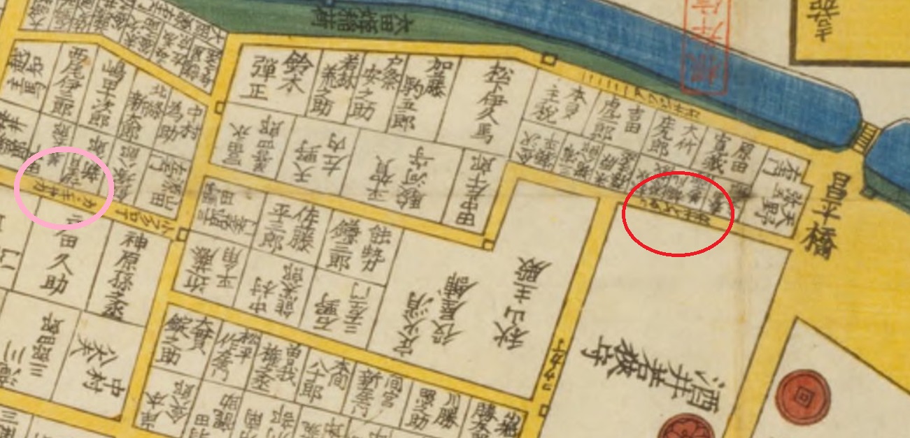
On the Edo kiriezu “Surugadai Ogawamachi ezu” (National Diet Library Digital Collections) (photo below) you can read “YUREI SAKA” (red box) and “KANKI SAKA” (pink box). So it was Yureizaka from the Edo period.
Today it is of course not “gloomy,” but around here, for the city center, there are surprisingly few people, a lonely feel. Are there still ghosts?